Case study · Crowd management
Millions of journeys.A coordinated plan.
Supporting safer pilgrim flows during the Hajj.
For one of the world's largest recurring gatherings, mathematical optimization and pedestrian simulation turn complex movements into coordinated routes and timetables.
01 / The challenge
Coordinate people, space, and time.
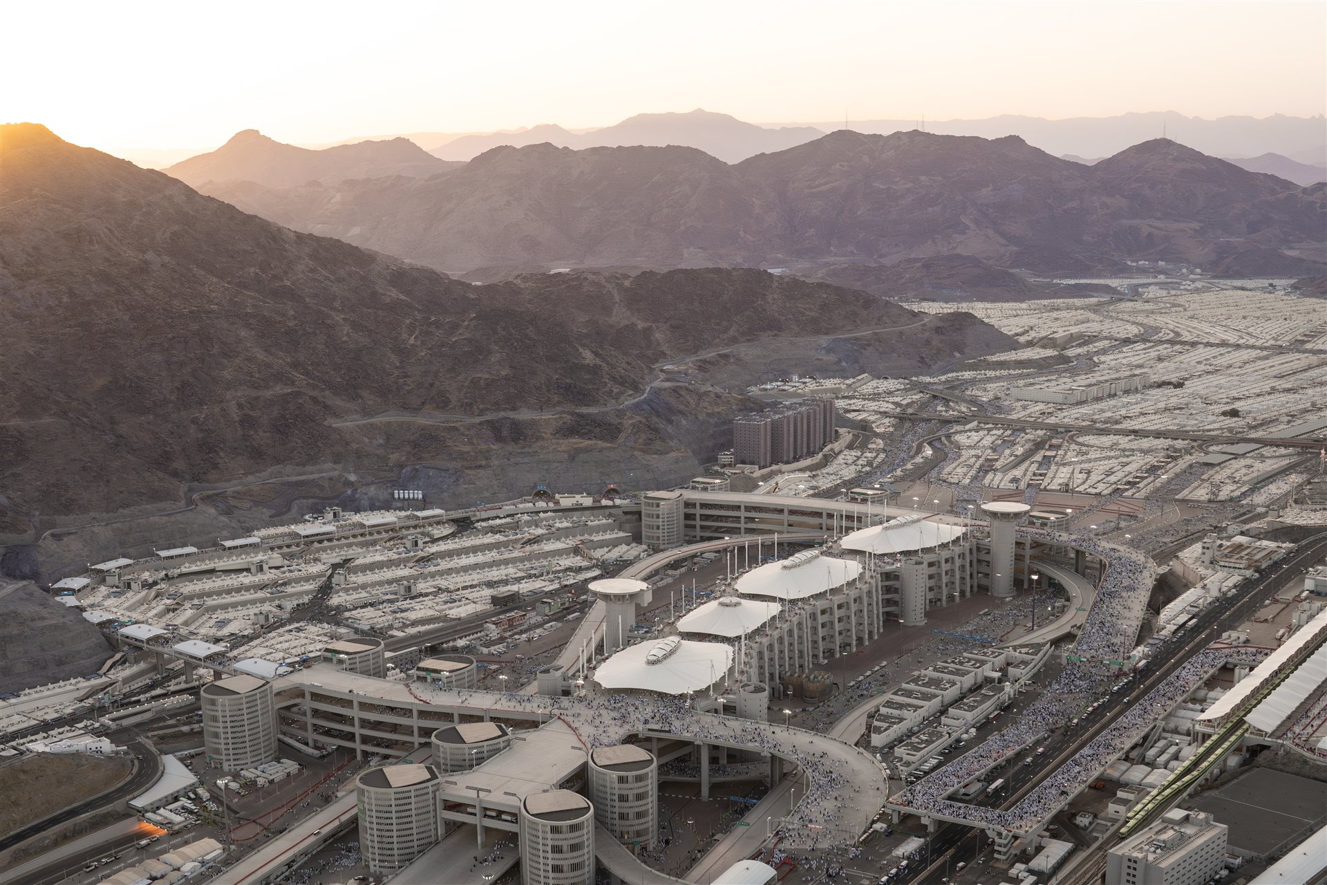
During the Hajj, large pilgrim groups travel from their camps to the Jamarat ritual site through a shared network of roads, tunnels, and walkways. Preferred ritual times create peaks in demand, while merging flows and limited capacity can lead to dangerous crowd densities.
The planning task was to coordinate departures and routes across the entire network, balancing infrastructure capacity with group-specific needs and religious time preferences.
02 / The approach
Model. Coordinate. Test.
Represent the network
A digital representation brings together camps, routes, walking times, and infrastructure capacities. This creates a common planning basis for the many interconnected pilgrim movements.
Optimize the schedule
The model assigns routes and time slots to registered pilgrim groups. It separates opposing flows, smooths infrastructure utilization, and then improves alignment with preferred ritual times.
Simulate and refine
Pedestrian simulation tests the resulting flows, including the effects of different walking speeds. Potential bottlenecks feed back into the planning constraints, allowing schedules to be revised before implementation.
Inside the simulation
See the plan in motion.
Simulation brings planned pedestrian movements into the digital route network, helping planners examine how flows interact before putting a schedule into practice.
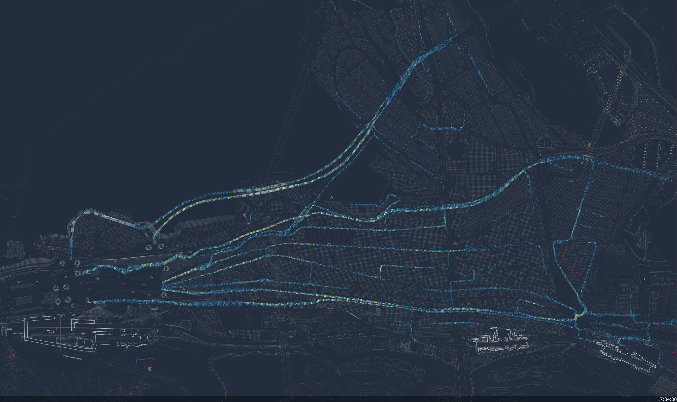
A snapshot from our pilgrim-flow simulation: modeled pedestrian movements within the surrounding infrastructure.
View full size (opens in a new tab)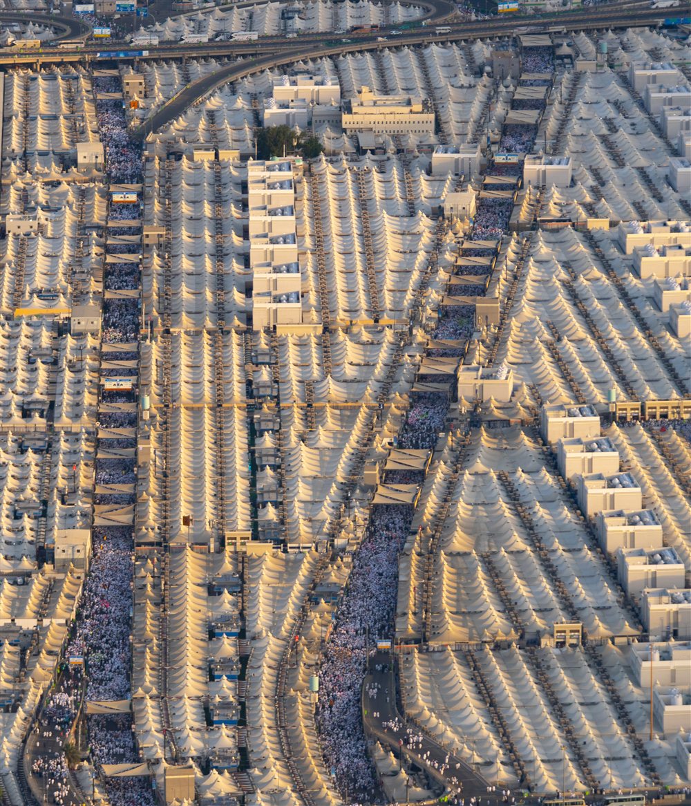
03 / From model to practice
Planning that connects to operations.
The work extended beyond the optimization algorithm. Collaboration with Saudi authorities, pilgrim organizations, and operational teams helped translate model results into usable schedules and routing instructions.
Workshops, repeated on-site involvement, and integration with planning software supported this process. The wider decision support system also used video-based monitoring to report infrastructure utilization and help teams assess conditions during the event.
Documented application
The papers document use of the scheduling approach in 2007–2014 and 2016–2017 as part of a broader crowd-management program. Its value lies in making network-wide interactions visible and providing a structured basis for coordinated decisions.
Your planning challenge